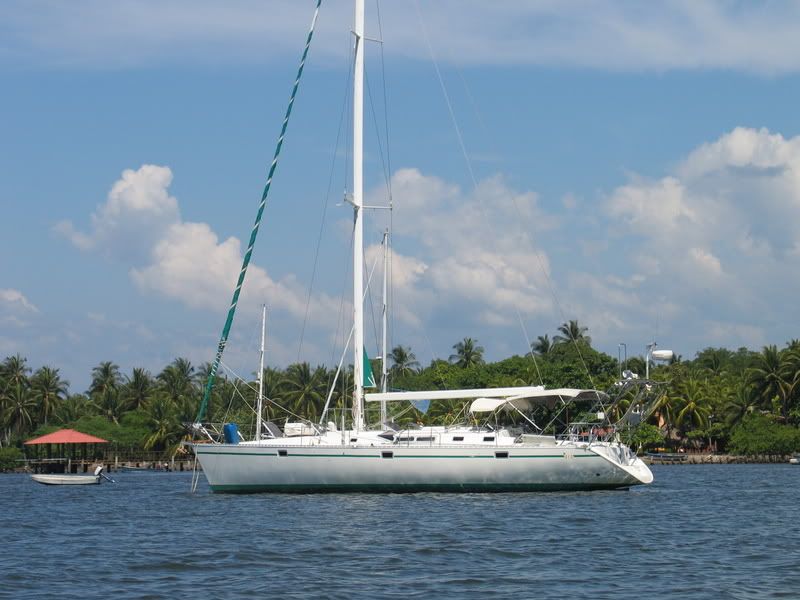
The best way to catch up to this blog is to sum up the trip in a few pictures. I was not there for this leg of the journey and getting "stories" from Michel is next to impossible. He seems to have a hard time remembering where he stopped and he did not take many pictures. He was pushing hard to get Jovietal back home.
I was on Thetis with the girls emailing weather information via the SSB.
We were all anxious about getting the right weather window as there are plenty of horrific stories of the T-Pecker winds aka the Tehuantepec.
On the Pacific Coast of Mexico, at the southern end of Mexico, there is a large body of water called the Gulf of Tehuantepec (teh-WAHN-teh-pec). North of the Gulf of Tehuantepec there is a skinny strip of land, an isthmus, which separates the Gulf of Tehuantepec from the Gulf of Mexico on the other coast. This piece of geography has a weather system all its own.
Winds start in the Gulf of Mexico, hit Mexico at the Isthmus of Tehuantepec, scream across land and are funneled through two mountain ranges. The winds are amplified up to 3 times and then are shot out the back side, and hit the Pacific in the Gulf of Tehuantepec with gale force and up to hurricane force winds.
It's almost embarrassing to post that crossing the Gulf was rather boring.


No comments:
Post a Comment